| Place | Map Lat. N Lon. W |
Population Year/People |
History | Topo Map |
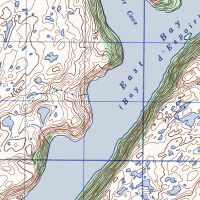
| Bay de Este (East Bay) | 11P/16 47° 46' 58° 05' |
1869/40 1941/35 1945/38 |
settled by 1850 abandoned by 1951 |
 |
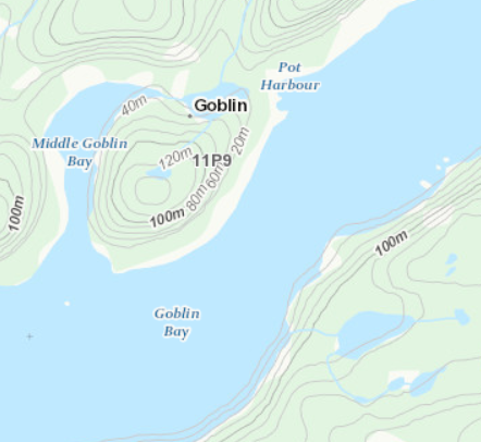
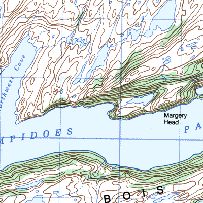
| Goblin, Goblin Bay | 11P/9 47° 43' 56° 07' |
1874/12 1911/40 1941/29 1951/36 |
settled late 1800's abandoned by 1956 |
 |
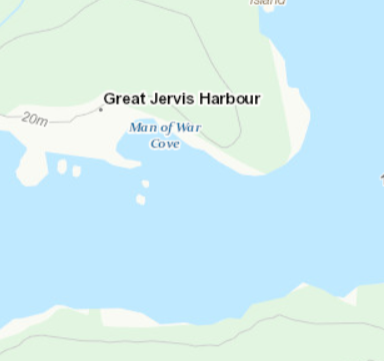
| Great Jarvis ~ Jervis Harbour | 11P/9 47° 40' 56° 10' |
1836/19 1845/47 1857/61 1874/121 1884/96 1935/74 1951/60 |
settled by 1836 abandoned by 1966 |
 |
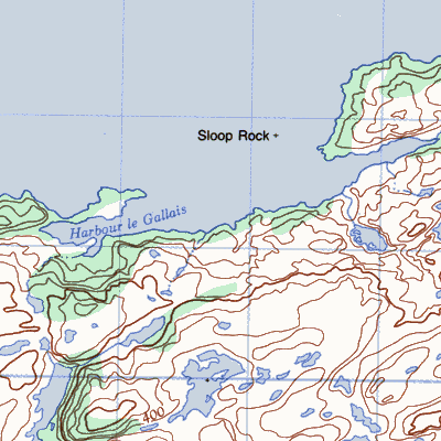
| Harbour Gallett (~ Galley; ~ Galle; Le Gallais), Isle Galet | 1M/12 47° 41' 55° 59' |
1836/17 1869/15 1901/11 1921/20 1935/32 1945/7 |
settled early 1800's abandoned after 1945 |
 |
| Lambles Passage (Lambells) | / | 1857/29 1921/4 |
settled by 1857 abandoned by 1925 |
 |
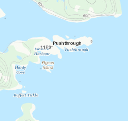
| Pushthrough | 11P/9 47° 39' 56° 10' |
1836/82 1857/118 1884/209 1901/235 1941/212 1945/175 1961/24 |
settled by 1814 abandoned 1968 |
 |
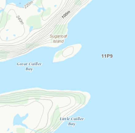
| Quiller (Quillaire; Coulliard), | 11P/9 | 1869/10 | settled by 1851 abandoned 1905 |
 |
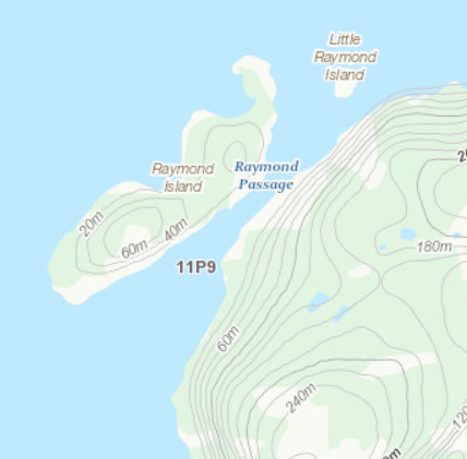
| Raymonds Island | 11P/9 47° 44' 56° 08' |
1857/26 1911/19 |
settled by 1850 abandoned after 1911 |
 |
| Raymonds Point | 1M/12 / |
1869/15? 1891/36 1966/6 |
settled by 1850 abandoned after 1966 |
 |
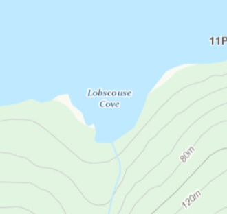
| Scouse Cove | 11P/9 | 1869/10 | settled by 1851 abandoned 1905 |
 |
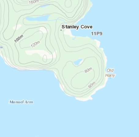
| Stanley Cove and Birchy ~* | 11P/9 47° 42' 56° 10' | 1884/27 1891/5* 1911/5* 1911/38 1945/7 |
settled by 1880 abandoned 1950 |
 |