| Place | Map Lat. N Lon. W |
Population Year/People |
History | Topo Map | |
| Belle Isle | 2M/14 51° 51' 55° 21' |
/ | light station after 1858 | 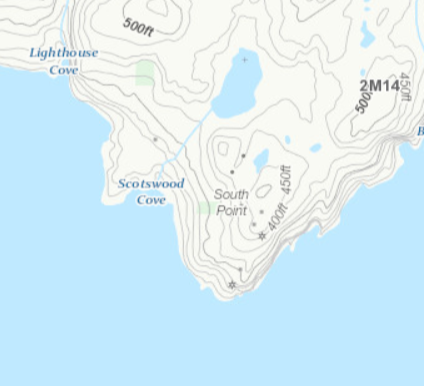 | |
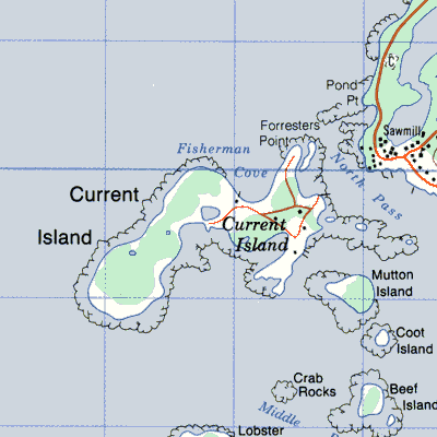
| Currant Island (Current ~), St. Genevieve's Bay | 12P/1 51 11 56 49 |
1873/30 1941/53 1954/84 |
settled by 1770 abandoned in 965 |
 | |
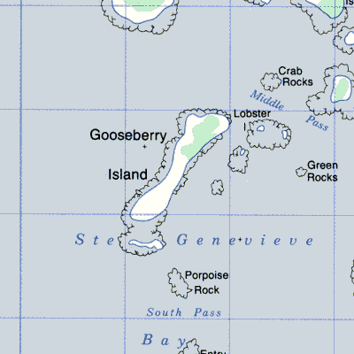
| Gooseberry Island, St. Genevieve's Bay | 12P/2 51 09 56 50 |
French before 1870 settled by 1880 abandoned by 1945 |
 |