| Place | Map Lat. N Lon. W |
Population Year/People |
History | Topo Map | |
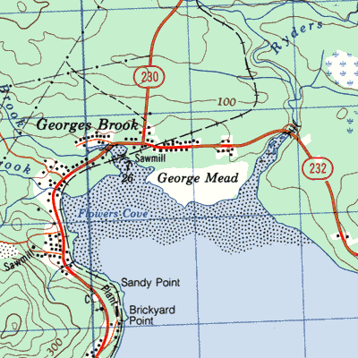
| Barretts Siding, near Georges Brook on Bonavista Branch | 2C/4 | 1956/16 1961/8 1966/4 |
settled by 1956 abandoned by 1976 |
 | |
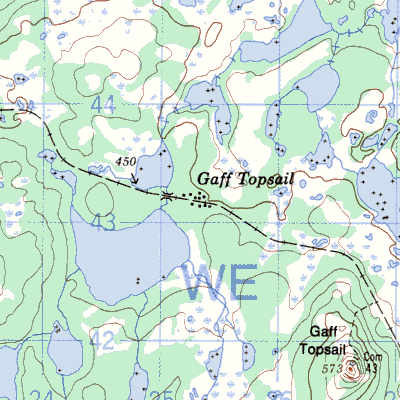
| Gaff Topsail | 2E/3 | 1911/10 1945/45 1950/18 1951/17 |
established ca. 1895 abandones by 1956 |
 | |
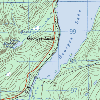
| Georges Lake, near Stephenville | 12B/9 48° 44' 58° 11' |
1935/26 1945/72 1961/8 |
settled by 1901 abandoned 1962 |
 | |
| Howards, at Georges Lake | 12B/16 | 1901/48 1911/10 1921/30 1935/14 1945/37 |
settled by 1900 abandoned by 1951 |
||
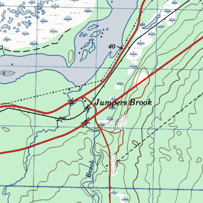
| Jumpers Brook, near Bishops Falls | 2E/3 49° 02' 55° 24' |
1911/12 | settled by 1890 abandoned by 1914 |
 | |
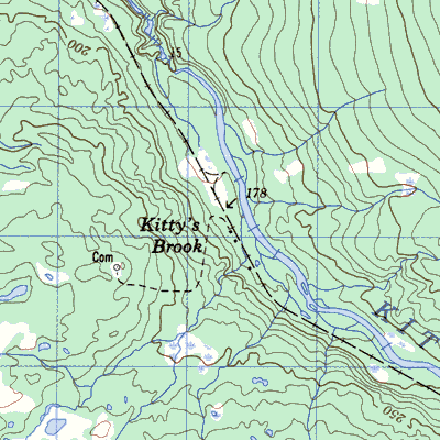
| Kittys Brook, near Howley | 12H/2 49° 11' 56° 54' |
1911/5 1935/11 1945/14 |
settled by 1903 abandoned after 1945 |
 | |
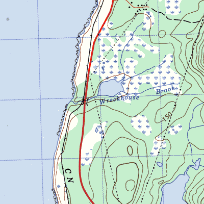
| McDougalls Gulch (and Wreckhouse), near Port aux Basques | 11O/11 | 1901/15 1956/20 1966/5 |
settled by 1900 abandoned 1966 |
 | |
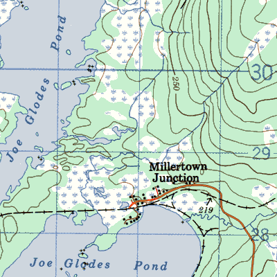
| Millertown Junction (Joe Glodes Pond to 1900), at Millertown | 12H/1 49° 01' 56° 20' |
1901/5 1911/101 1941/122 1956/204 |
settled by 1900 partially abandoned by 1975 |
 | |
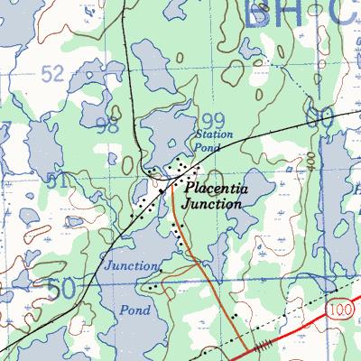
| Placentia Junction, near Placentia | 1N/5 47° 23' 53° 40' |
1891/95 1901/37 1941/38 1945/47 1956/9 1966/6 |
settled by 1890 abandoned after 1966 |
 | |
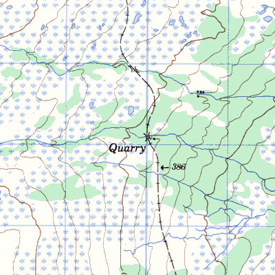
| Quarry, near Gaff Topsail | 12H/2 49° 03' 56° 35' |
1951/5 | settled 1890's abandoned 1954 |
 | |
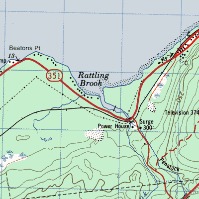
| Rattling Brook Depot, near Norris Arm | 2D/1 48° 58' 55° 32' |
1935/23 1945/118 1961/162 1961/63 |
settled by 1925 abandoned 1963 |
 | |
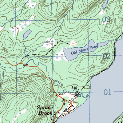
| Spruce Brook, on George's Lake | 12B/16 | 1901/10 1921/48 1945/79 1956/141 |
settled by 1900 abandoned by 1975 |
 |